
Vintage City Maps
Picture this: stumbling upon your own neighbourhood on a map crafted centuries ago.
Explore our Vintage City Maps collection—a journey into the past that lets you rediscover your favourite destinations across the globe.
Unlike today's digitally saturated city maps, this collection stands apart. These are authentic pieces, sourced from historical archives and books, predating the era of GIS mapping and satellite images. They are a testament to craftsmanship in a time long before our modern technological advances.
Some pieces, we have given a light digital restoration to mend the wear and tear of centuries. Other pieces remain untouched, wearing their imperfections as an integral part of their story.
Our goal is simple: to honour the skill and dedication poured into these maps—each one a piece of art in its own right.


Medieval City Map of Arras 1699


Liverpool Panoramic


Southampton Panoramic


Map of Swansea, Wales 1885


Map of Liverpool, England 1885


Map of Hull, England 1885


Map of Belfast 1888


Map of Marseille 1885


Map of Bordeaux 1886


Map of Boulogne 1884


Paris Panorama #3


Paris Panorama #1


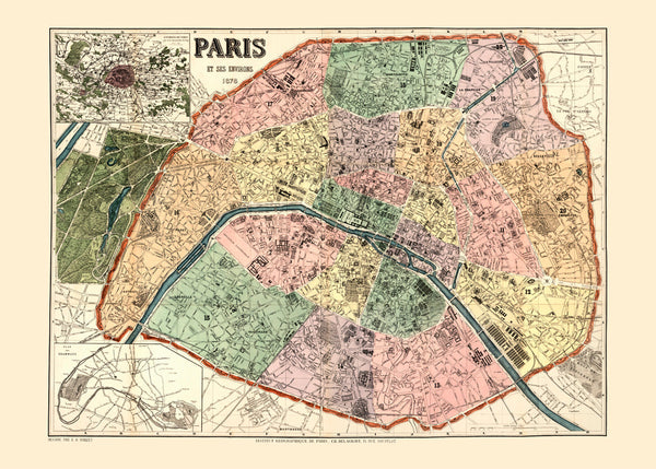
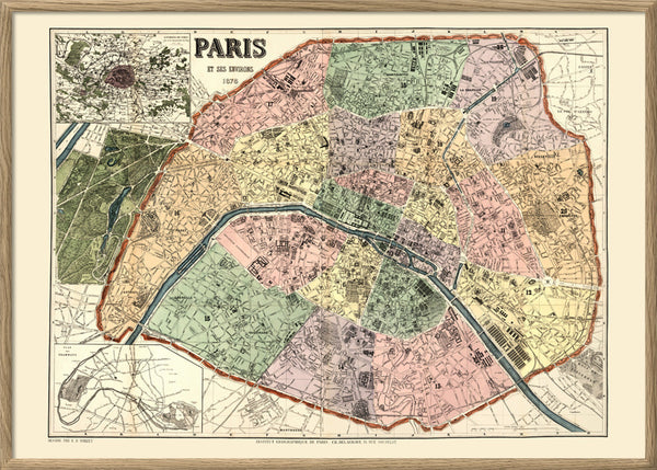
Map of Paris


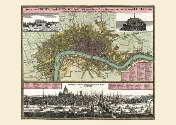
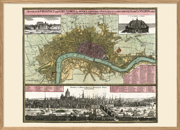
Map of London prospect


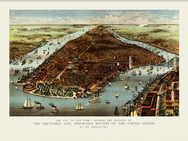
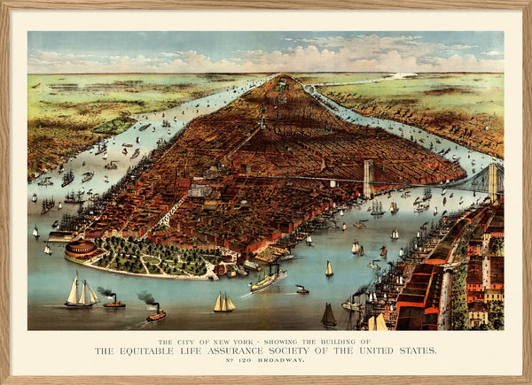
City map of New York


Vintage map of Christiania (Oslo)


Vintage map of Bergen, Norway


Vintage map of Stockholm


Quais de Stockholm


Vintage City map of Gothenburg


Medieval City map of Brugge, Belgium


Vintage City Map of Antwerpen


